


le pegue

Dan30
User
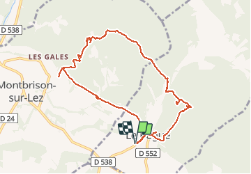

Length
10.4 km

Max alt
553 m

Uphill gradient
439 m
Km-Effort
16.3 km

Min alt
343 m

Downhill gradient
439 m
Boucle
Yes
Creation date :
2020-05-21 07:40:41.896
Updated on :
2020-05-21 13:43:12.137
5h24
Difficulty : Difficult

FREE GPS app for hiking
 SityTrail
IGN / Geographical institutes
SityTrail Plus
The world is yours!
About
Trail Walking of 10.4 km to be discovered at Auvergne-Rhône-Alpes, Drôme, Le Pègue. This trail is proposed by Dan30.
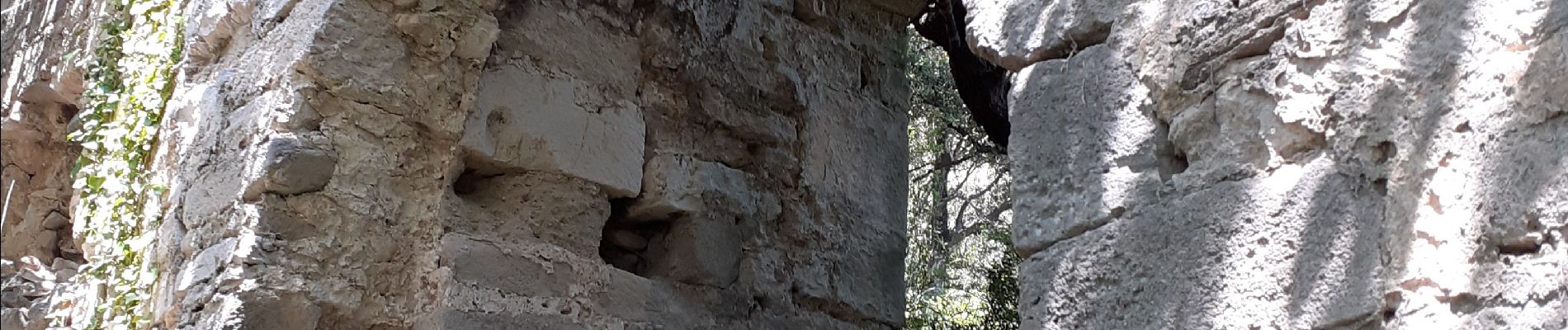
Photos


Positioning
Country:
France
Region :
Auvergne-Rhône-Alpes
Department/Province :
Drôme
Municipality :
Le Pègue
Location:
Unknown
Start:(Dec)
Start:(UTM)
662884 ; 4921476 (31T) N.
Comments